
The News through 2024.
Petition gets Attention
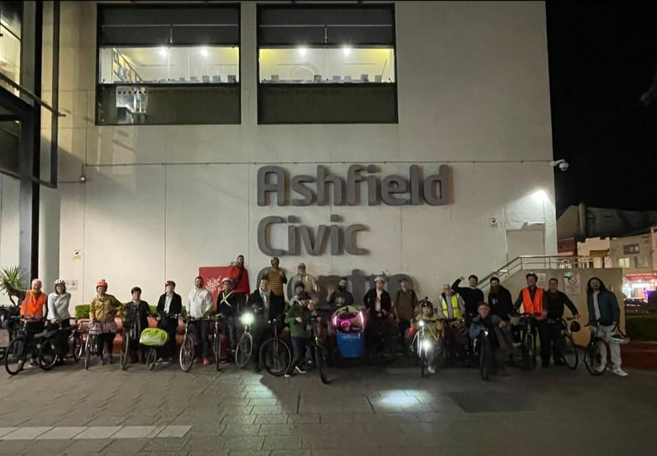
A facebook petition on lack of action on new cycleways in August gathered hundreds of signatures and was presented to Council by IWBC. Cyclists organised rides to the meetings and spoke in favour of a number of positive cycling motions put up by Labor and Green Councillors.
Subsequently IWBC members met with the Mayor and senior staff in December 2024 to discuss matters such as lack of resources and dedicated staff to get projects ready. The meeting was apparently a positive one. Council and the Mayor ware realising that the growing population and increasing housing densities need good cycling and walking conditions if traffic congestion and pollution is to be avoided and grid lock averted. Plus the health, greenhouse gas reduction and other benefits of Active Transport.
Mayor Darcy Byrne promised to meet with IWBC reps if Labor was returned as the majority party in the September Local Government elections. All councillors were approached to sign the Cycling Pledge, put together by IWBC. Most did, or agreed in principle.
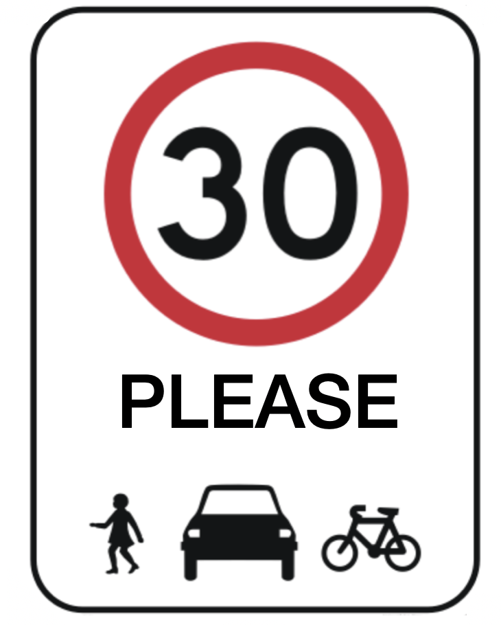
The IW Council and the State Government have put a plan forward to have most speed limits lowered to 40, except for some State and Regional Roads. While welcomed it fails to recognise that most cities and some countries around the world have adopted 30 as the Urban Default, where crashes are much less likely and 95% survivable, and streets are much more pleasant.
40 K Speed Limit Change
it is pleasing to see that some State or Regional roads that were 60, and where cyclists often ride, have been reduced to 50 recently, eg The Crescent, Annandale, and Sydenham Rd, Livingstone Rd and Railway Tce in Petersham. Speed limit changes are published on the Transport for NSW web site.
See more on Bicycle NSW site, Better Streets, Walk Sydney or 30 Please, and any number of research papers and articles. The United Nations also put out a declaration urging 30 be the default speed limit. The savings in deaths and injuries are well documented.
Lilyfield Rd Cycleway
A revised plan for a separated cycleway is being prepared by consultants Complete Urban. This will be the fourth plan, after earlier plans from 2016 were withdrawn after resident backlash about loss of parking. The last plan in 2022 was withdrawn because of “concerns” about tying in with Rozelle Parklands. We were quite happy with that plan, which didn’t affect parking very much. The new plan should be ready in early 2025 for consultation. BL is hopeful of a viewing before-hand.
White Bay Power Station.
Placemaking NSW has received $17m funding for active transport works around the recently renovated and repurposed Power Station. The shared path on Victoria Rd east of Robert St is to be widened by using some of the Power Station land adjacent to the current path. The bus stop on Robert St near Victoria Rd will be relocated off the shared path or the path rerouted around the back of the stop. And last but not least a connection direct to the Victoria Rd underpass and Anzac Bridge path from Robert St is planned, on the flat land next to the pier Station, opening maybe late 2025. A temporary path is already built but can only be used when no events or construction.
Sydney Ports
A meeting was held in November with Sydney Ports about future bike links to East Balmain and connections to the Glebe Island Bridge or Anzac Bridge on Port land at White Bay. Members of Bike Leichhardt and Balmain Rozelle Climate Change Active Transport Group attended. Sydney Ports has just finished a Masterplan for White Bay and were generally supportive of links we proposed, such as opening Lower Booth St so cyclists could get to Donnelly St more directly from Robert St, and getting to the old Glebe Island Bridge. They said the old bridge might have to wait until 2032, when the Metro will open, for it to be opened as a bike and pedestrian way.
Greenway– work is proceeding on the section between Parramatta Rd and Canterbury Rd, with several tunnels already built or under construction at Parramatta Rd, Longport St, Davis St and Constitution Rd. See Inner West Council Greenway page for the latest, or go for a ride!
New Inner West Bike Routes.
Well known consultant and Bike East member Dick van den Dool has been employed by Council to select new routes for the Bicycle Strategy and Action Plan and sift through lists of current routes and works supplied by Bike Leichhardt and IWBC that need upgrades.
Council has a few projects ready and some almost ready for funding applications but they need to have more “in the pipe line”, and ready to go, to attract very limited State Government Active Transport grants. Labor councillors have promised to double the spend by 2028, but we have doubts they can get enough projects selected, concept designs done, consulted on, final designs done and approved.
IWBC has also been having quarterly meetings with Council engineers to discuss many smaller “works for bikes” that will improve access.
***Current news is often put up on our facebook page or on Bike Marrickville group page. Another popular face book group with current news and discussion is Sydney Bicycle Commuters (Old and New). Bicycle NSW has good info or articles. ***
IWBC.ORG.AU has more details and news on bike routes and Council meetings.
Bike Leichhardt is a member of Better Streets Australia and supports Walk Sydney and 30please.org, the campaign for a 30 K default urban speed limit, to replace the current 50.